Crossing Maine’s Waters in Pursuit of GNATS - NASA Science
By Catherine Mitchell, Bigelow Laboratory for Ocean SciencesThe Gulf of Maine North Atlantic Time Series (GNATS) has been assessing surface seawater conditions since 1998. GNATS focuses on the base of the. . .
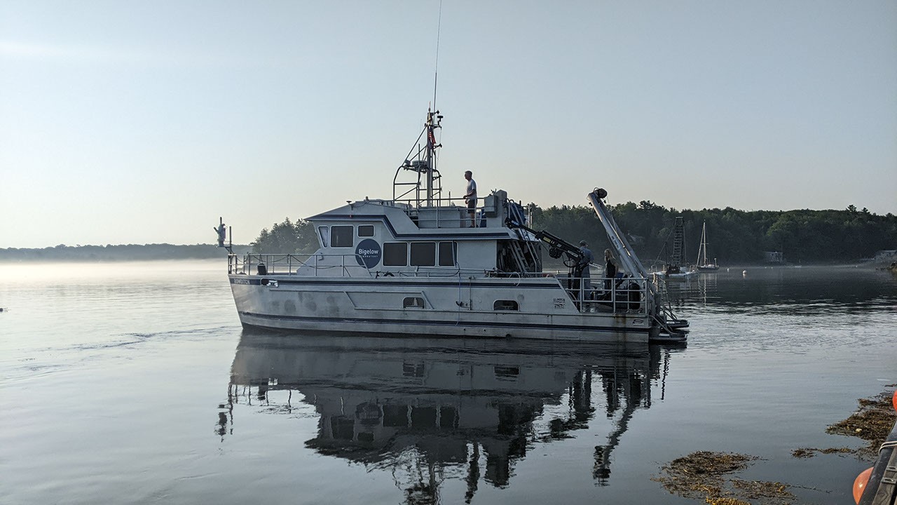
, Bigelow Laboratory for Ocean SciencesThe Gulf of Maine North Atlantic Time Series (GNATS) has been assessing surface seawater conditions since 1998. GNATS focuses on the base of the marine food web. We sample phytoplankton and observe biogeochemistry, physical conditions, and ocean color along a transect from Portland, Maine, across the middle of the Gulf towards Nova Scotia. Funded by NASA since its founding, GNATS’s data is used to validate NASA’s suite of ocean color satellites:SeaWiFS(Sea-viewing Wide Field-of-view Sensor),MODIS(Moderate Resolution Imaging Spectroradiometer),VIIRS(Visible Infrared Imaging Radiometer Suite), and the recently launchedPACE(Plankton, Aerosol, Cloud, ocean Ecosystem). As part of the PACE Validation Science Team (PVST), the Marine Optics Lab at Bigelow Laboratory for Ocean Sciences, led by senior research scientist Catherine Mitchell, has completed ten research cruises since April 2025. Joining us has been Julia Brown’s team. Julia, a fellow senior research scientist at Bigelow Laboratory, was funded byNASA’s Biodiversity and Ecological Conservationprogram to include a microbial component in the time series that would allow the team to explore what microbes are in the Gulf of Maine and what they’re doing. With these measurements, we plan to link microbial data to satellite-observable parameters, with the ultimate goal of building models that capture long-term biogeochemical changes in the Gulf of Maine. For a full story from a cold February GNATS trip head, clickhere, or to learn more about GNATS visitthis page.